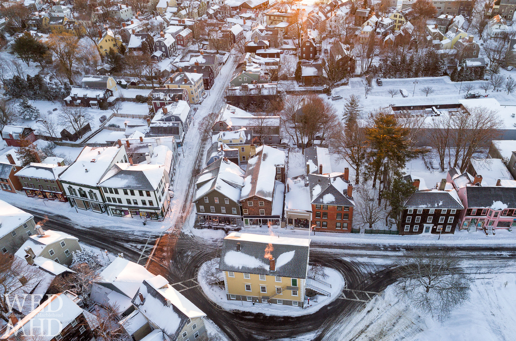
In mid-February, I took my Phantom 4 Pro drone to Redd’s Pond and explored the area surrounding once overhead. I had previously admired the outcropping of land on which Fort Sewall can be found but seeing it from the air gave it a different perspective. As it turns out, this outcropping is/was known as Gales Head and I was thrilled with the light illuminating that section of land to highlight it in this image.
From an earlier question on my Facebook page, I learned that Ambrose Gale (1630-1708) lived at 17 Franklin Street and had a fishing business located on the neck of land next to present day Fort Sewall. The headland on which Fort Sewall stands was called fort hill in 1707 and Gale’s head in 1723. Gales head was fortified by the government in 1742. It was named after Samuel Sewall in 1814. Sewall was Chief Justice of MA and a benefactor to the Town. Anyone’s guess on how much land was considered as Gale’s but the term usually constitutes the headlands like Bailey’s Head at Fountain Park or Naugus Head.
Thanks to Jack at All Marblehead and Dan Dixey at Marblehead Images as well as Andrea Tucker Merrifield for the background on Gales Head.


i’m loving these drone shots..puts MH in perspective. thanks, as always :-)
It really does
drones are going to change the field of photography
They are and hopefully for the better though as these things get cheaper and easier to fly, they have the very real possibility of becoming very annoying. I hope the FAA mandates the 107 requirement – just like needing to pass a drivers test to drive a car. That will at least make sure that all pilots are aware of their responsibilities. In the meantime, I plan to fly early in the morning/late in day and try to minimize my presence as much as possible.
Beautiful! I was hoping to catch an arial view of my house (18 Orne) but you just miss it with this shot. I can see my yard at the far right (adjacent to the bright yellow house) and I suspect if you zoom in there’s a high probability of a barking dog (or three) running along the fence line. If you have any shots with 18 Orne, I’d love to see them.
Every photo you post makes me want to live in Marblehead! It’s so beautiful there.??
You are lucky to be able to go back, and especially to see it this way. I think I can see our old rental apartment in the foireground of this photo. I used to walk my baby there 45 years ago, winter and summer. Great memories!